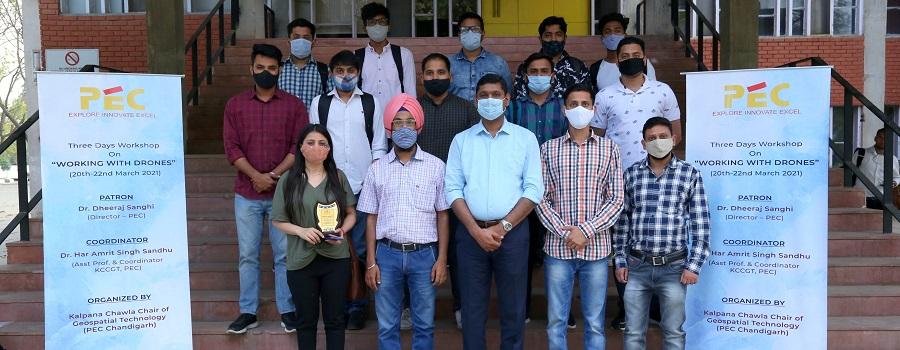
The Kalpana Chawla Chair of Geospatial Technology at PEC Chandigarh in association with M/S Matrix Geo Solutions Pvt. Ltd, New Delhi organized a 03-day workshop titled “Working with Drones”. Dr. Har Amrit Singh Sandhu (Coordinator, Faculty) in the inaugural session share the applications of Drone mapping in soil stability, disaster mitigation, tunneling etc. and shared that the drone services market size is expected to grow to $63.6 billion by 2025. He also shared new guidelines/ rules of drone flying in India.
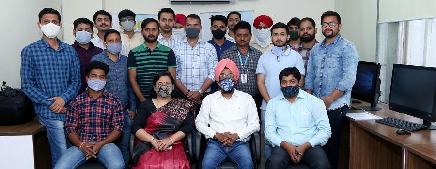
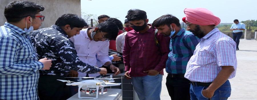
Mr. Rahul Jain (CEO, Matrix Geo) and his team enlightened the participants by covering various intricacies of remote sensing, drone mapping, aerial triangulation, and photogrammetry. The participants learnt working of drone piloting, flight mission, quality checking and data collection etc. Further, session on drone data analysis using various data manipulation tools to extract products (DEM, DTM, contouring, 3D map etc.) from the drone images by Mr. Gaurav Jain were well received by the participants. This extensive drone mapping workshop was attended by the participants from PEC, PU, NHAI and private agencies.
Dr. Sangeeta Bagga (Principal, Chandigarh College of Architecture Chandigarh) was the chief guest in the closing session and shared her views on the importance of these Drone mapping technologies in different fields in Architecture, Urban Planning as well as civil engineering related fields. She appreciated the 3d map of one hostel prepared by the participants during the workshop. She congratulated the organizing team led by Dr. Har Amrit Singh Sandhu, Er. Ankur Sharma and Er. Rajan Dabral on successfully completing such an informative workshop. The participants savored these three days to the fullest, looking forward to another such event in the coming months.